Fieldline Geospatial
Measured ground. Plainly mapped.
Fieldline Geospatial is a small, licensed survey and mapping firm in a mountain town in Idaho. They set property corners, map building sites, stake construction and fly drones for maps and LiDAR. The site had to look as careful as their work and make it easy to ask for a quote with just a parcel number.
- Services
- Squarespace website
- Industry
- Land Surveying
- Platform
- Squarespace
- Scope
- Home, Services, Projects and About pages; numbered services list, project filters, team and license tables, quote form
- Project
- Concept website
Homepage
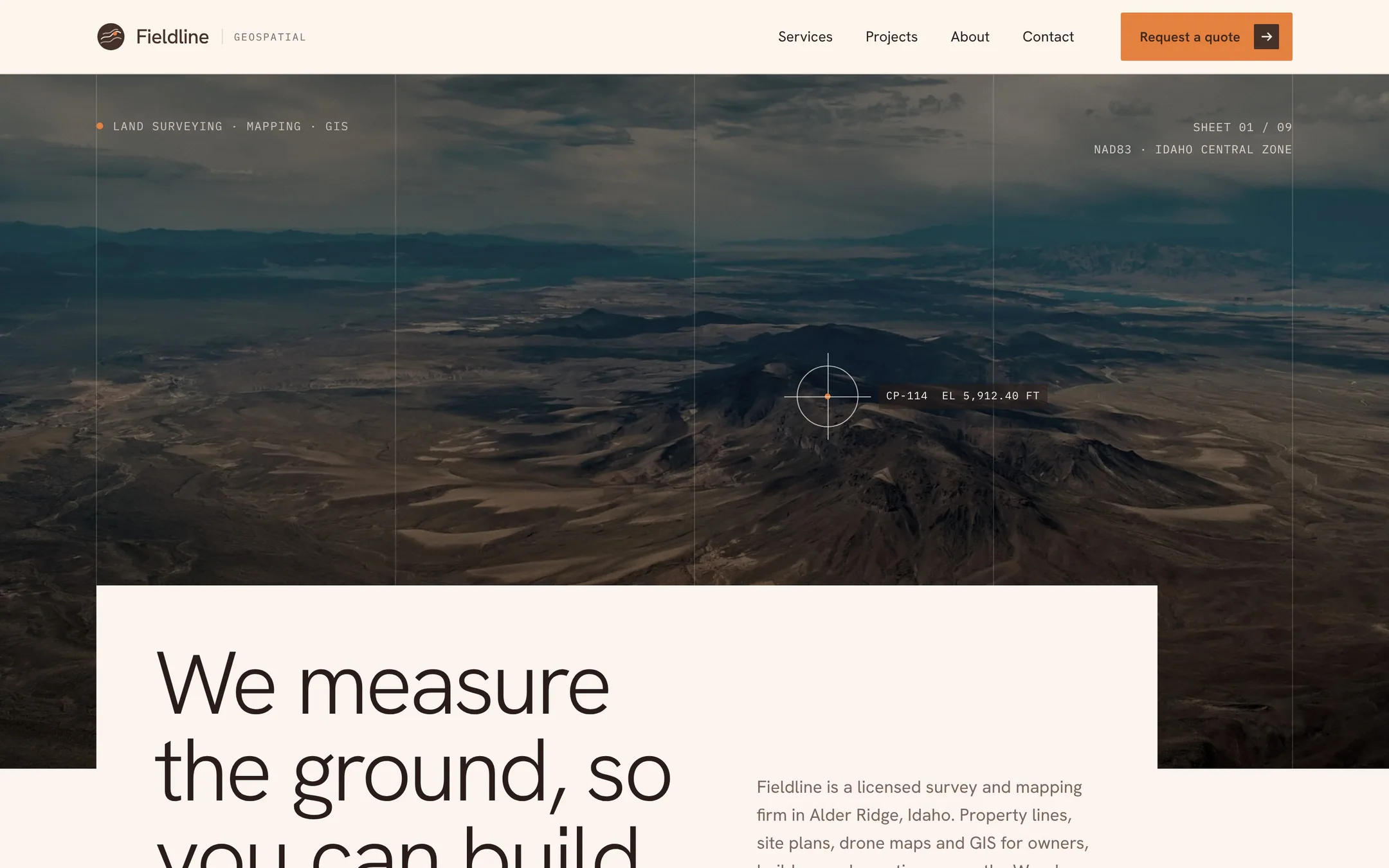
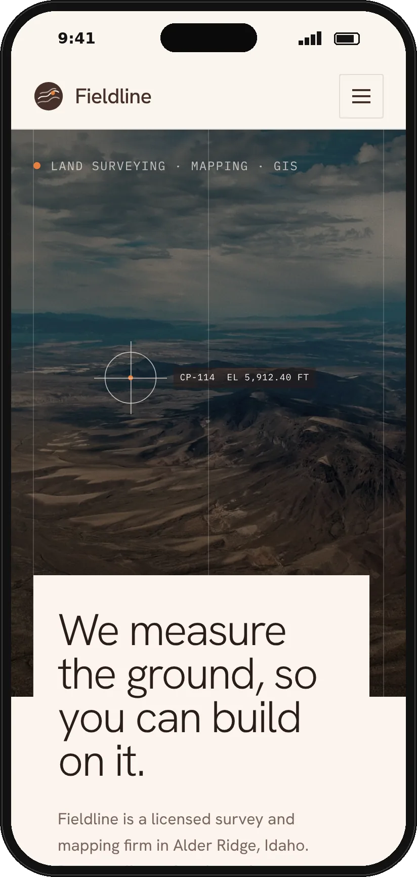
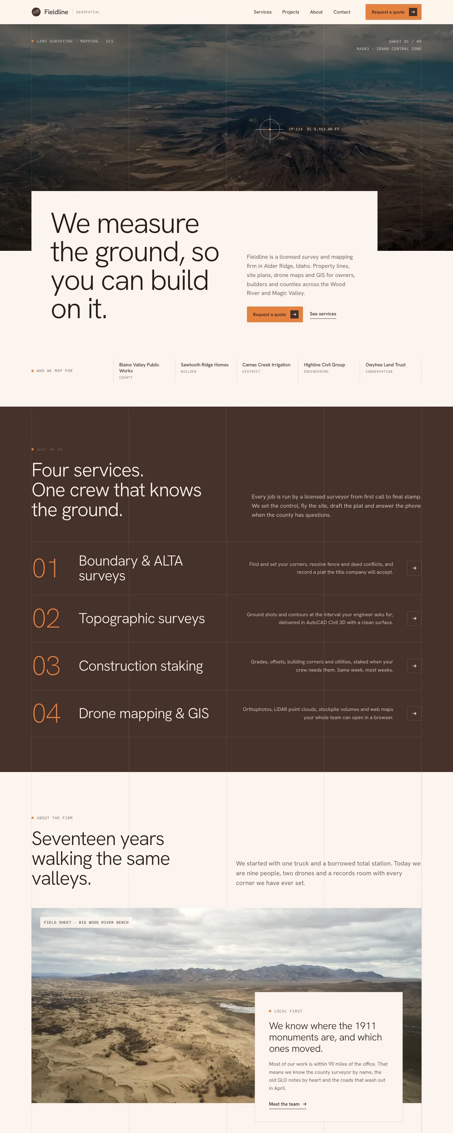
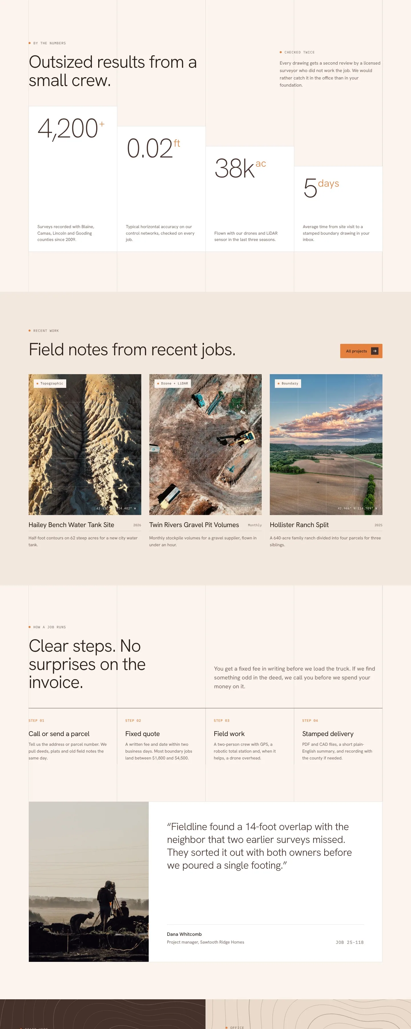
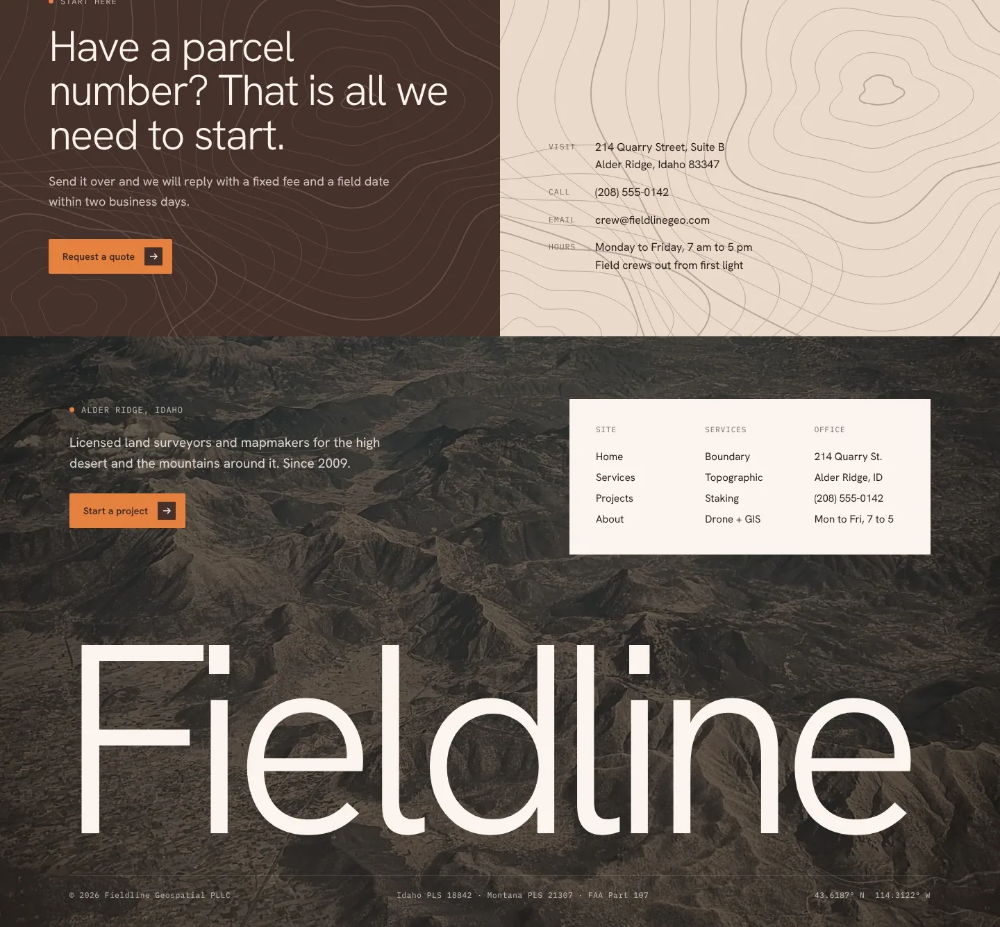
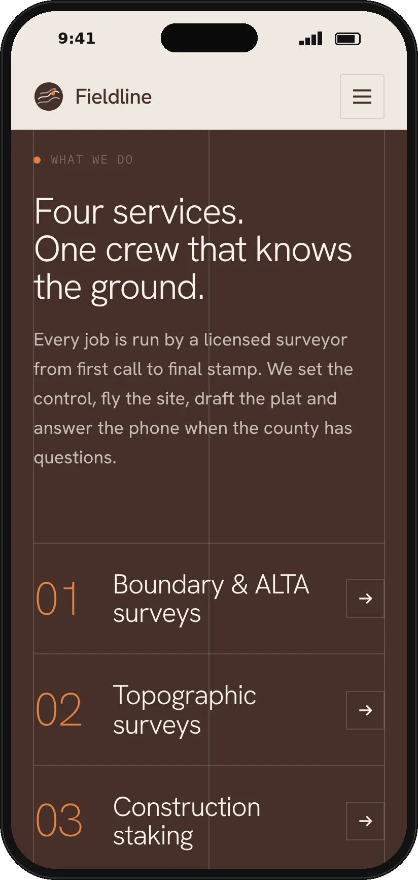
The home page opens on a dark aerial photo marked with a survey crosshair, and the headline sits in a cream panel that overlaps it. Thin grid lines run through every section like a map sheet. A brown band lists the four services in large numbers, and four white cards step down the page to show the firm's numbers.
Inner pages
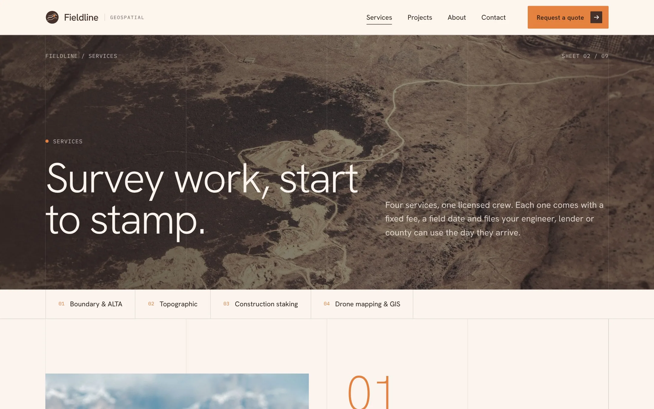
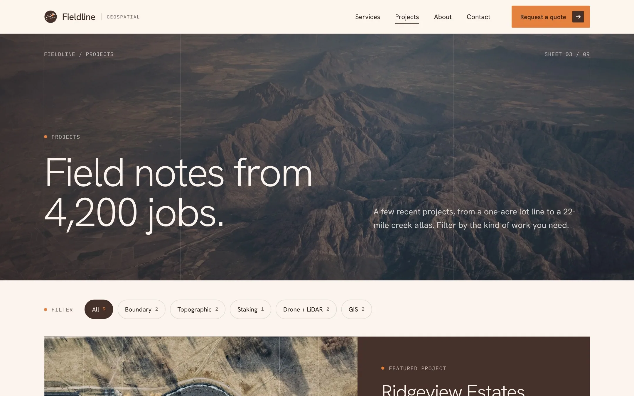
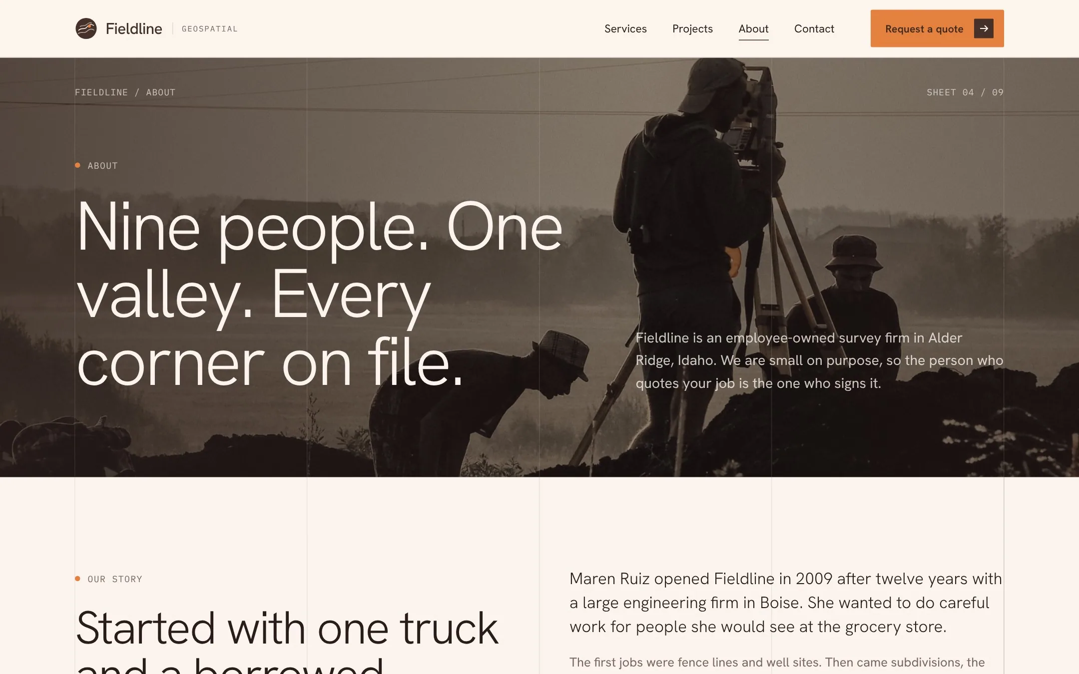
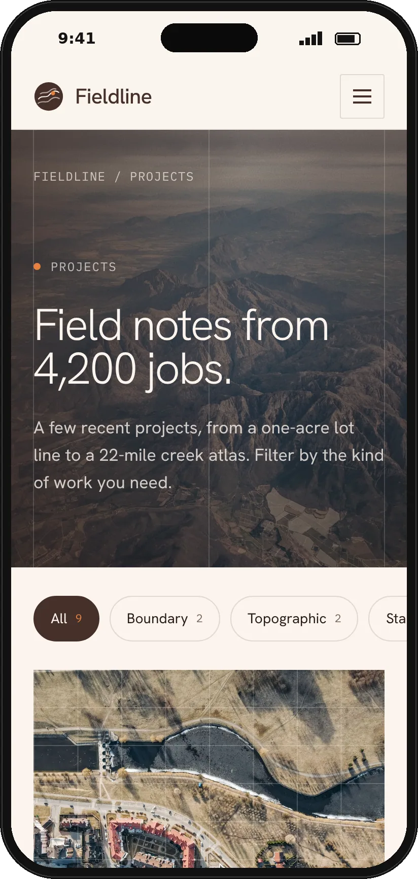
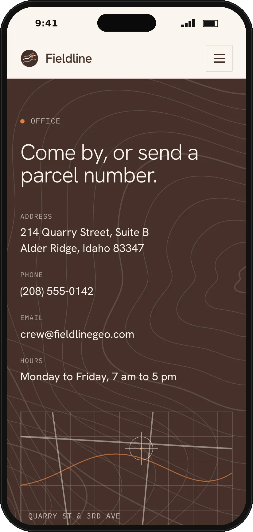
The services page gives each service its own spread with deliverables, equipment and a typical fee. The projects page filters jobs by type, and the about page brings together the team, their licenses, the office and a quote form.
Mobile
On a phone the grid drops to two columns and the services list stays big and easy to tap. The project filters scroll sideways, and the contact details sit right above the form.
Want a site like this for your business?
Concept project. Fieldline Geospatial is a fictional business, made to show how Talk Design would build a site like this. Photography from Pexels.